KQGIS 3D System is a self-developed 3D modeling and management system, which grants users insightful view with integrated and unified 2D and 3D display.
1).Brief Introduction:Based on C/S and B/S structural patterns
• Models indoor-and-outdoor, and ground-and-underground integrated management
• FOUR in one system: data, software, service, and applications
• Standard plug-in and Javascript, Python, Lua etc. API
• Multi-field applications: land resources, surveying and mapping, agriculture and forestry, real estate, water conservancy, smart city
2).Main Advantages:
•Seamless transition to 3D GIS from 2D GIS desktop system
•High-performance 3D spatial database storage and management technology
•High-performance big data scheduling visualization technology
•SOAP protocol parse and transfer on the basis of flow pattern
•HTTP protocol binary stream transfer and data parse
3).System Highlights:
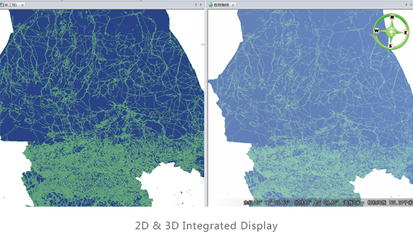
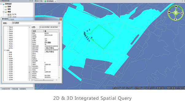
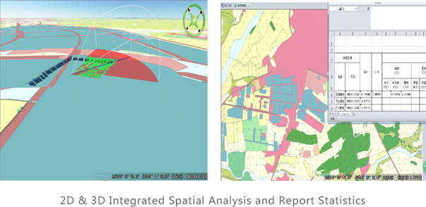
2D & 3D Integration:
•2D &3D integration ensures 3D data precision and the uniformity of spatial location and attribute information
•3D data automatic updating mechanism
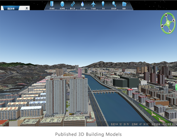
 4).3D Scene Publishing and 3D Web Service:
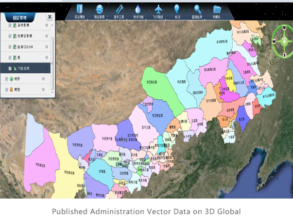
•Convenient 3D GIS service publishing, querying and analysis
•Compatible with 2D web services in 3D scene, no extra map tiling and publishing
 (8610)85271488


 KQGIS 3D System
  (8610)85271488
 Service Network
 Join Us
 current position: